What is the NASA Space Apps Challenge ?

The NASA International Space Apps Challenge is the largest annual global hackathon. This two-day event creates innovation through international collaboration by providing an opportunity for participants to use NASA’s free and open data and its Space Agency Partners’ space-based data to address real-world problems on Earth and in space.
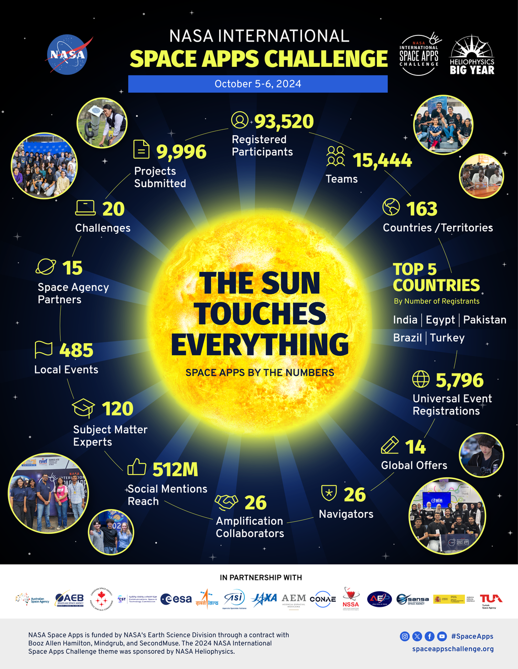
The event featured 21 challenges proposed by NASA. Each team is required to select one challenge and solve it during the designated hackathon weekend.

The 2024 NASA International Space Apps Challenge had a record-breaking year with 93,520 registered participants from 163 countries and territories around the world! After kicking off the hackathon with NASA Associate Administrator Dr. Nicky Fox, the Heliophysics team, and our 15 Space Agency Partners in the Welcome to NASA Space Apps 2024 video, over 15,444 teams worked together to tackle 20 challenges. These teams submitted 9,996 projects that featured apps, videos, websites, and more.
In the following link, you can find all the challenges available in the 2024 edition:

OUR CHALLENGE
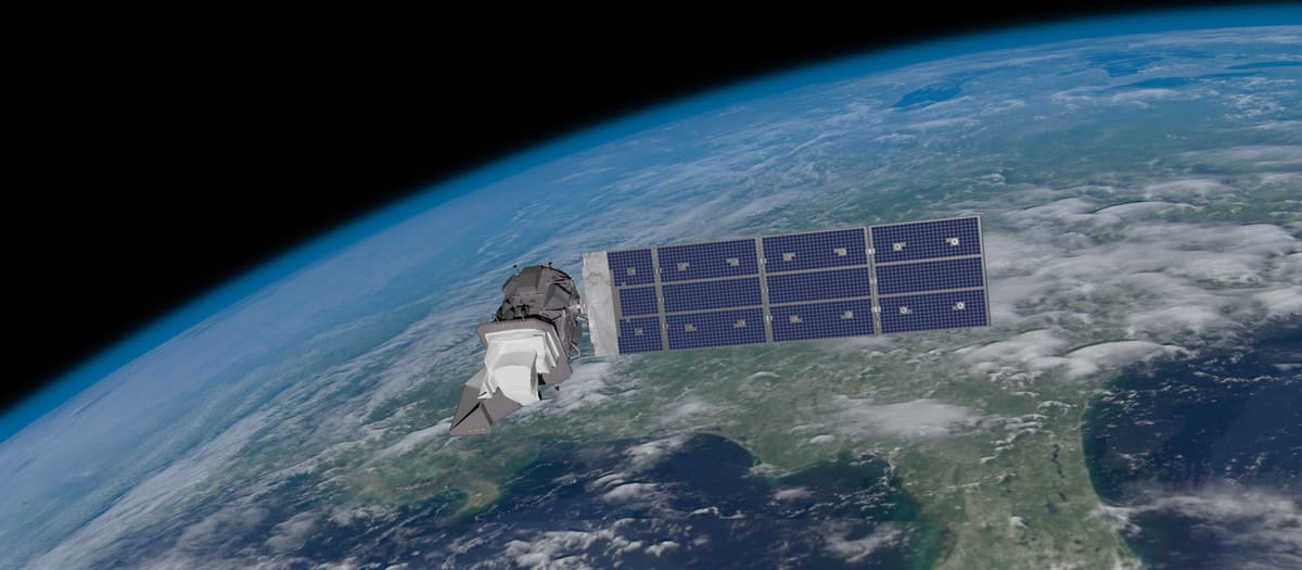
Landsat Reflectance Data: On the Fly and at Your Fingertips
Landsat missions have provided the longest continuous dataset of remotely sensed measurements of Earth’s land surface.
Comparing ground-based spectral measurements with Landsat Surface Reflectance (SR) data collected at the same time can facilitate experiential learning, encourage scientific exploration with satellite data, foster interdisciplinary and spatial thinking skills, and empower individuals to become informed global citizens.
But to compare ground-based measurements with Landsat data, you need to know when Landsat will be passing over a specific land area, and then be able to access the Landsat data collected at that place and time.
Your challenge is to develop a web-based application that supports the comparison of ground-based observations with Landsat data by allowing users to define a target location, receive notifications when Landsat is to pass over that location, and then access and display the corresponding Landsat SR data.
Sources:


